About 15 miles south of Amarillo is Palo Duro Canyon State Park. It is claimed to be the second largest canyon in the country, second to the Grand Canyon. The visitor center and entrance is on the top of the canyon and the 16 mile drive takes you down to the bottom of the canyon.
The view from the top was amazing and gave you the first look at how expansive this canyon is.


The 16 mile road is very curvy and a constant grade heading downward. We put the truck in a lower gear to help the descent.


The Canyon is 120 miles long, as much as 20 miles wide, and has a maximum depth of more than 800 feet. Its elevation at the rim is 3,500 feet above sea level. Palo Duro Canyon was formed by water erosion from the Prairie Dog Town Fork of the Red River. The water deepens the canyon by moving sediment downstream. Wind and water erosion gradually widen the canyon. (Source: http://www.palodurocanyon.com/) These are some of the pictures that we took on the drive through the park — sit back and enjoy!


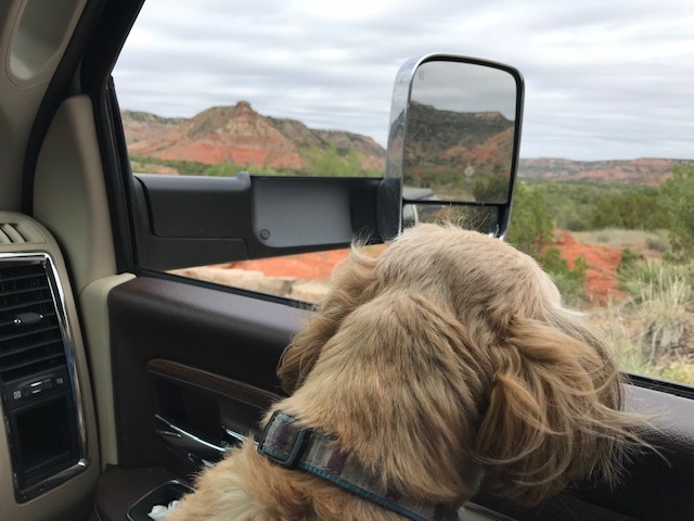
Even Max enjoyed the view today!
There were a number of hiking trails — we went on one that led to a bird viewing area that was pretty cool! Along all of the paths were so many catcus — you would not want to wander off of the path!!


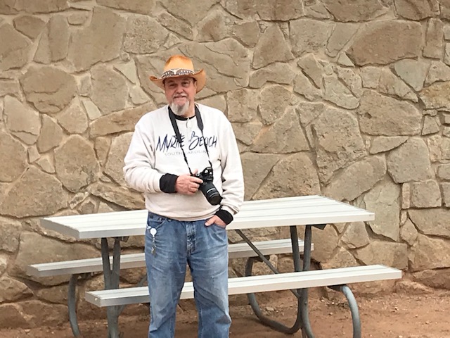
We stopped at the gift shop on the bottom of the canyon and had a light lunch. Someone also had to buy a new local hat!!! 🙂
We spent about an hour there and then headed back up for the climb to the top of the canyon.


Although it was a cloudy day, the drive was very nice and the red of the canyon was really impressive. Definitely worth the drive to see!!
TIFN

